BOSTON: THE CENTRAL ARTERY
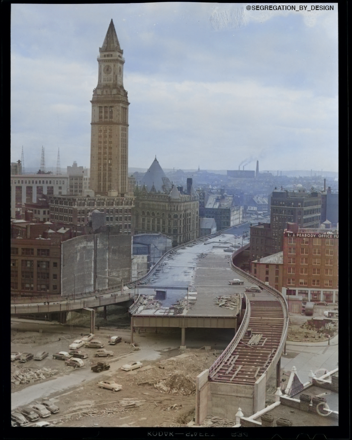
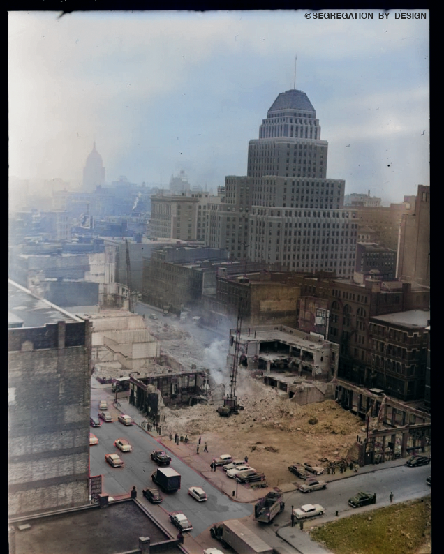
Planners cut through central Boston block-by-block to build the so-called “Central Artery” of I-93 in the early 50s. In doing so, the government displaced over 20,000 people in Boston’s primarily working-class, racially-integrated central neighborhoods, including the West End, Chinatown, and Downtown itself. Thousands of apartments and businesses in hundreds of buildings across the peninsula were demolished, to be replaced with far fewer units, as well as massive new government and institutional buildings. Three of Boston’s historic public squares—Adams Square, Scollay Square, and Haymarket Square itself—were completely razed, as the very organizational logic of central Boston was overhauled to accommodate automobile commuters from the (racially-restricted) suburbs.

Emblematic of what was an emerging trend in highway-construction—the construction of massive, limited-access expressways through built-up urban areas, and coupling that construction with “slum clearance” projects—early freeways such as the Central Artery, along with the Cross Bronx Expressway in New York, influenced planners across the country looking to design their own urban highway systems (and who, after the passage of the 1956 Federal Highway Act, were financed with a whopping 90% federal funding match for any road built to expressway standards).

While “The Big Dig” attempted to fix the mistakes of the 50s and 60s, ultimately it was one step forward, two steps back. The Greenway is certainly an improvement over the former elevated structure, however burying and widening the highway (rather than downsizing or eliminating) was a reinvestment in and reaffirmation of car dominance. Moreover, jettisoning the rail link between North and South Station as part of the project (as originally intended) was a generational mistake that echoes across the entire northeast rail corridor.