PROVIDENCE: EAST PROVIDENCE
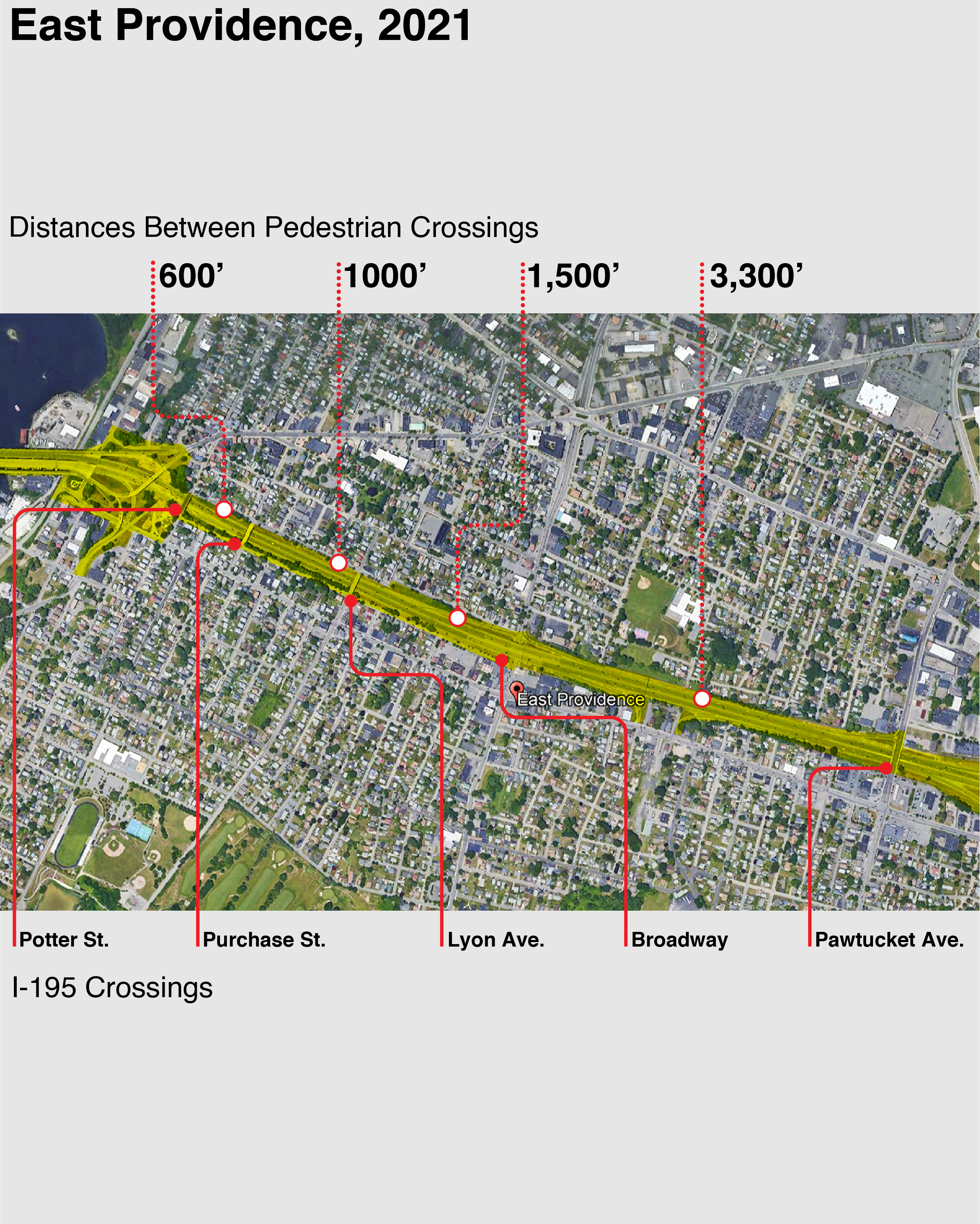
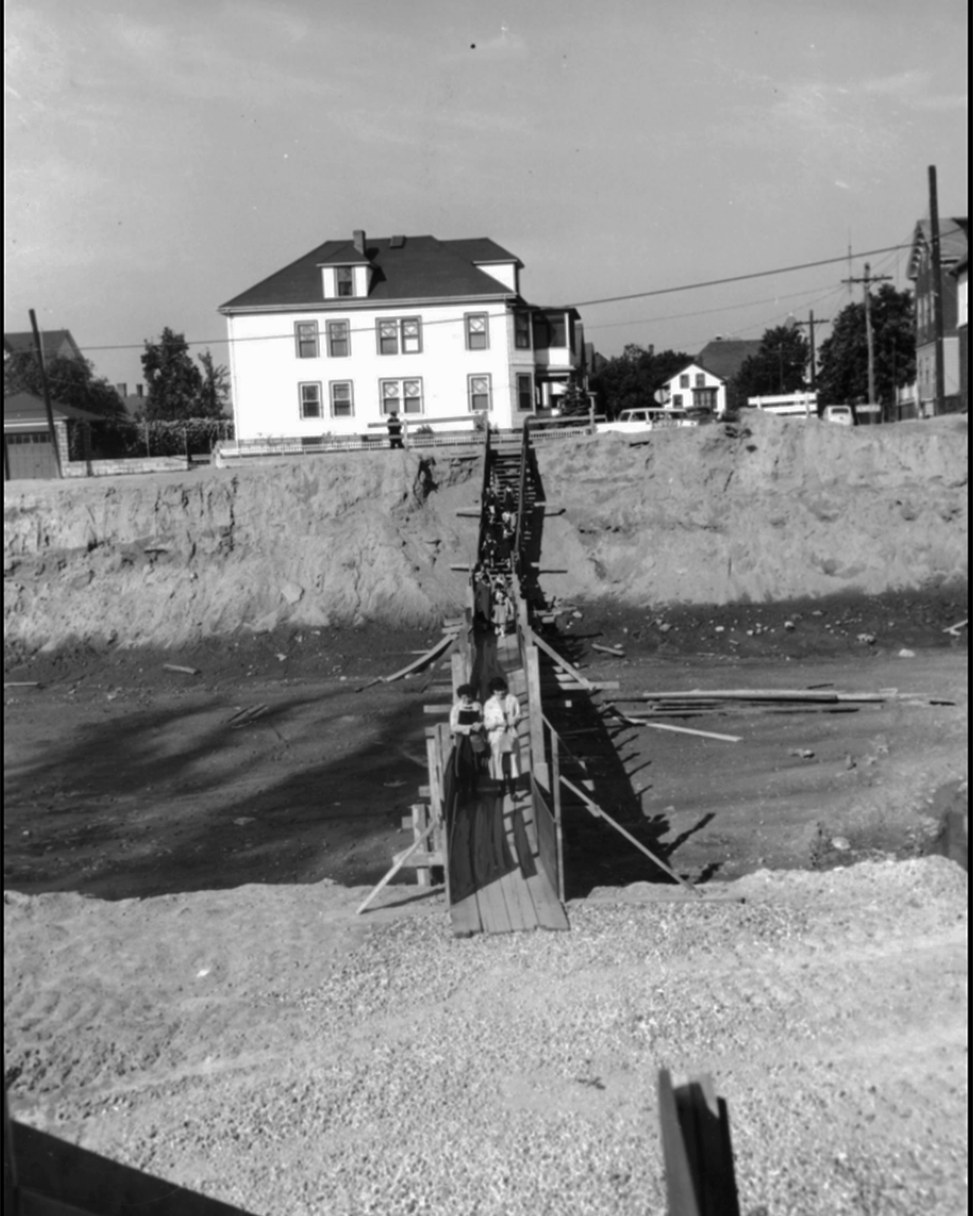
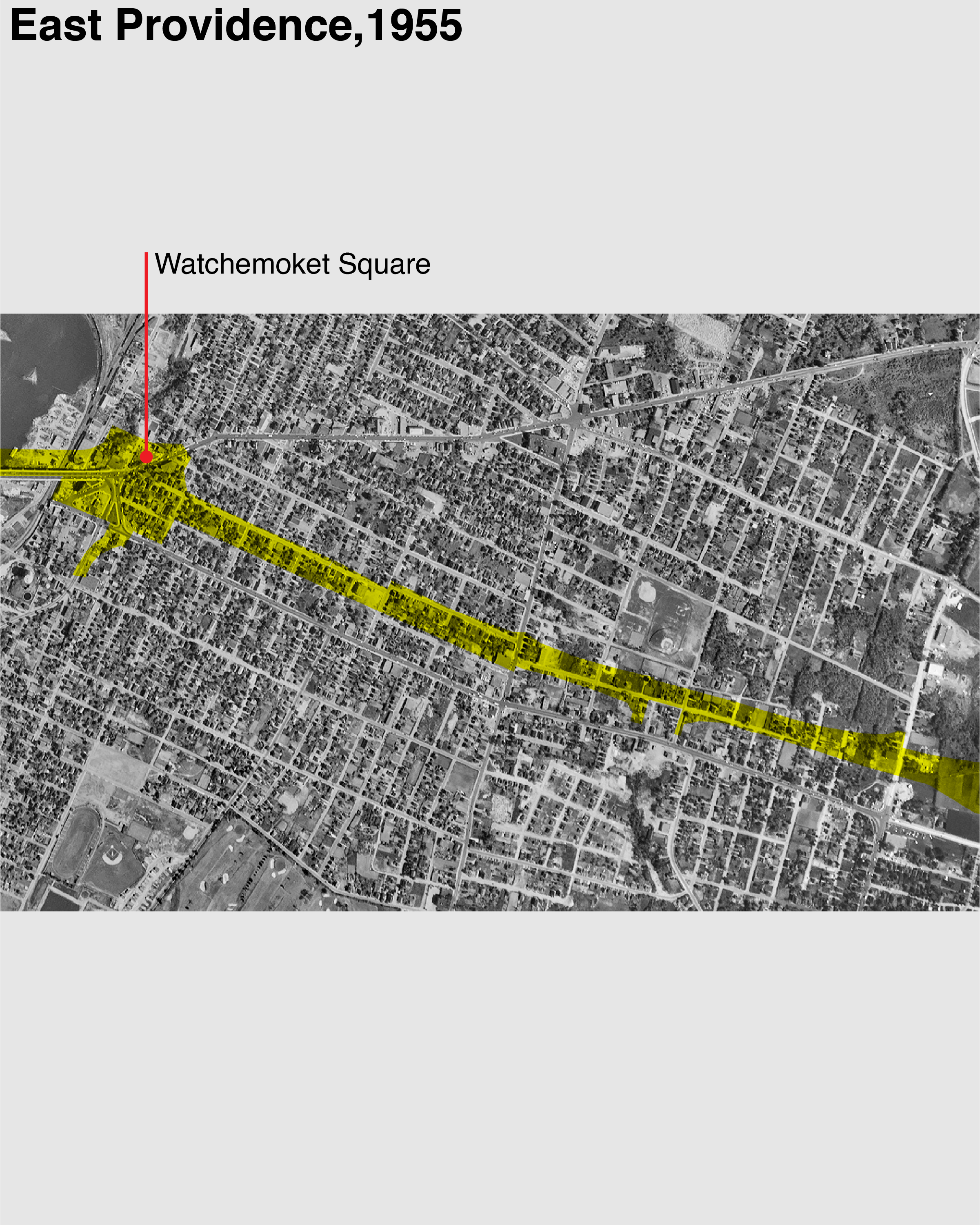
Prior to the construction of the freeway, East Providence had been a dense grid centered around Watchemoket Square on a bank of the Providence River. Watchemoket Square was entirely cleared for freeway construction and the grid was torn in half. In the third image you can see children walking on a temporary footbridge over the future I-195 R.O.W. A few years earlier these children would have been walking past residences and businesses. Now the freeway acts as a moat dividing the two halves of the town, with significant distances between the few, poor-quality pedestrians connections built.
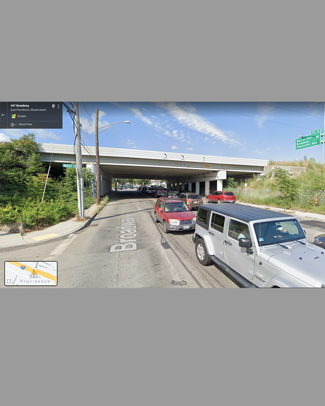
1958: Children heading to school in East Providence walk across a temporary footbridge, the future right-of-way of the I-195. Upon completion of the highway, their journey would become much longer. Distances between the few crossings built were up to 2/3rds of a mile. Moreover, calling the existing crossings "pedestrian friendly" would be generous, as seen in the third image of the Broadway underpass.