
ATLANTA: THE REGION


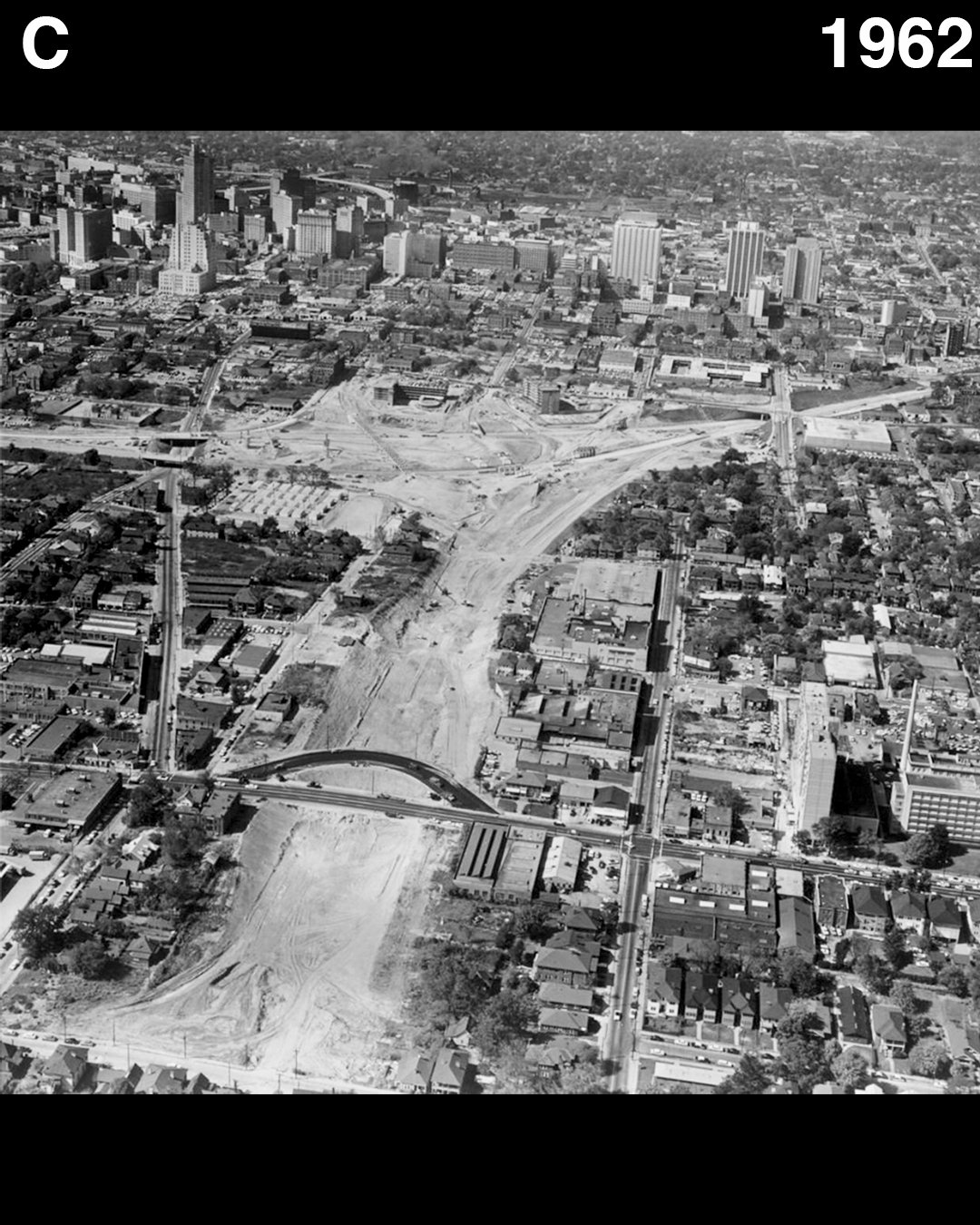


As freeways metastasized across greater Atlanta, the areas that bore the brunt of construction were invariably the predominantly African-American, formerly redlined neighborhoods. The first image shows the freeway right of way overlaid on the 1936 HOLC redlining map and a 1960 aerial photo. The subsequent images show the destruction wrought by freeway construction.
As with redlining maps for other cities, the government-backed Home Owners’ Loan Corporation (HOLC) graded different areas of the city based on “residential security.” Red was the lowest grade, followed by yellow, blue, then green. These grades were explicitly based on race, with the cartographic comments including measures of “negro infilitration.” Areas given the lowest, red grade (aka “redlined areas”), were generally predominantly communities of color.
These maps determined where the HOLC would and would not provide loans and guarantee mortgages. People in red-lined areas were generally unable to secure loans or mortgages. Thus, the vast majority of people of color in urban areas in the United States were unable to benefit from the government-backed New Deal programs which were helping white Americans buy homes and accrue generational wealth. Private banks generally followed suit, refusing to provide services to those in red-lined areas.
25 years later, the freeways rammed through the red-lined neighborhoods. The historic African-American neighborhoods of Sweet Auburn and the Old Fourth Ward were cut off from Downtown. Mechanicsville and Summerhill were divided from each other and from Downtown. Some neighborhoods, such as Armour and Johnsontown in Buckhead, were wiped off the map entirely. Armour by the freeway, Johnsontown by the construction of the Lenox Square shopping mall.
